About Aerial Forensics

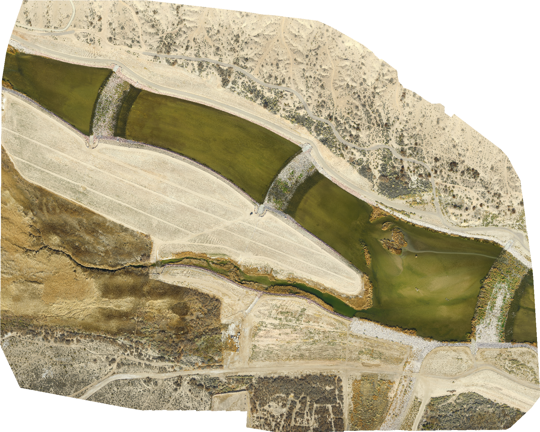
Aerial Forensics has over 25 years of experience in the acquisition of low altitude aerial photography and remote sensing. UAVs allow for the acquisition of data in remote or hazardous areas that are difficult to reach. This expedites the data acquisition needed for a particular project. Our UAV team is led by Rene Perez, MS a certified UAV pilot with over 200 hours of flight experience.
W. Richard Laton, Ph.D.
President | Founder

W. Richard Laton, Ph.D., of Earth Forensics, originally began using tethered blimps and monopods to acquire aerial photography. Starting in 2013, Aerial Forensics began deploying unmanned aerial vehicles (UAV) to acquire high resolution low altitude aerial photography.
Dr. Laton is an expert in the field of hydrology and hydrogeology. He is currently an Associate Professor in the Department of Geological Sciences, Cal State University Fullerton. This is a continuation of a career that includes years of teaching, consulting, litigation support and management experience. Dr. Laton possesses extensive knowledge in the areas of hydrogeology, soil and water contamination, hydrology and surface water, wetlands, coastal monitoring/geomorphology, field sampling techniques, well hydraulics, as well as environmental remote sensing/GIS. His classes at the university encompass such topics as: water quality, environmental sampling, groundwater modeling, well hydraulics, oceanography, and basic geology. Dr. Laton consults for a variety of private companies and public agencies that need input on the above subjects in addition to natural hazard assessment and mapping.
Dr. Laton is a Certified Professional Hydrogeologist in California and Washington; and a Certified Professional Geologist in eleven states: Alaska | Arizona | California | Florida | Illinois | Indiana | Minnesota | Oregon | Pennsylvania | Texas | Washington | North Carolina
Rene A. Perez, PG, CHG
UAV pilot/Senior Hydrogeologist

Mr. Perez has experience in remote sensing and is a certified Unmanned Aerial Vehicle (UAV) Pilot which he employs to obtain high resolution low altitude aerial and thermal infrared photography. The aerial photography is used to produce accurate high resolution topographic maps and 3D photorealistic models. The models offer a way for Mr. Perez to help clients visualize complex sites and/or changes in topography due to landslides or flooding.
Mr. Perez has over fifteen years of experience specializing in geologic, groundwater, contaminate transport, hydrometeorologic, aerial photo interpretation, hydrogeologic investigations/modeling including three dimensional visualization of complex data, and environmental remote sensing/GIS analysis These efforts are used in our consulting and litigation services to better serve the clients understanding of the nature of a problem and the methods of solving the problems. Our use of technology for communication and information is critical to providing clear and meaningful evaluations of data. Mr. Perez is also a licensed geologist with a Master’s Degree in geology this enables him to create logical links of databases and to pull from them the essential elements into visualization and model independently and interactively with the client and other key team members. He has also been involved in natural hazard assessment and mapping for cities and counties.