Intro
Custom Low Altitude Aerial Photography and Historical Aerial Research
Intro
Custom Low Altitude Aerial Photography and Historical Aerial Research
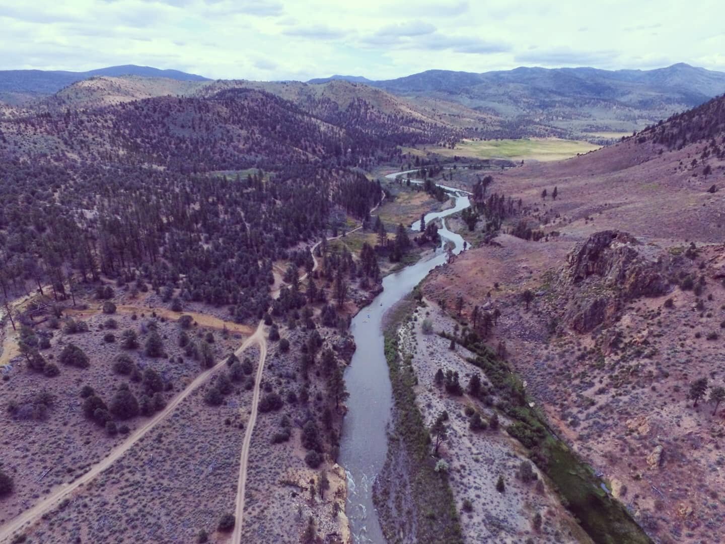
AERIAL FORENSICS
specializes in low altitude aerial photography and modeling with an emphasis on
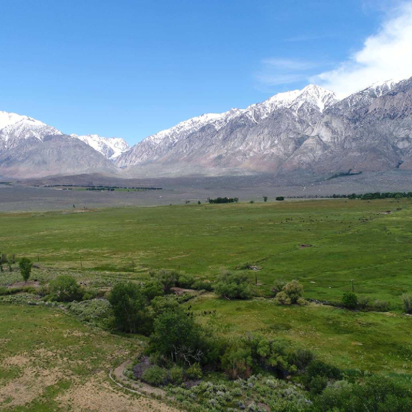
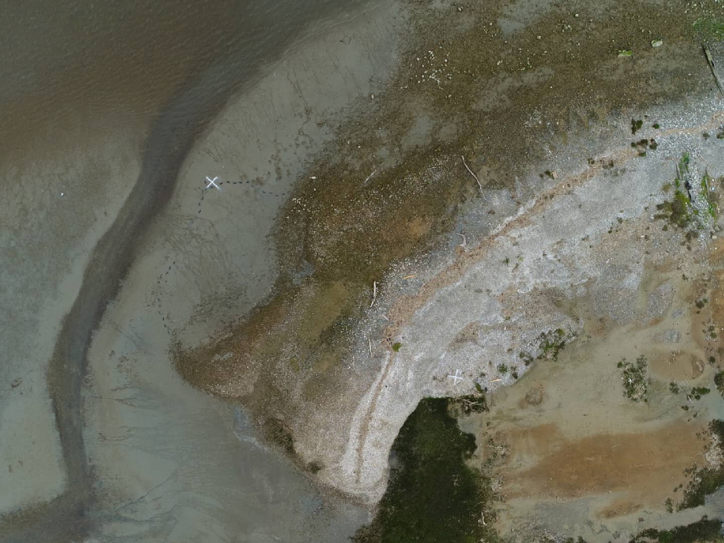
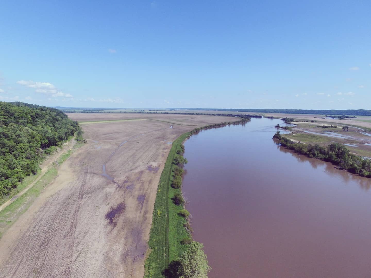
Geologic, Hydrologic, Environmental and Litigation Support.
Applications/Uses

Landslides and Slope Stability Documentation
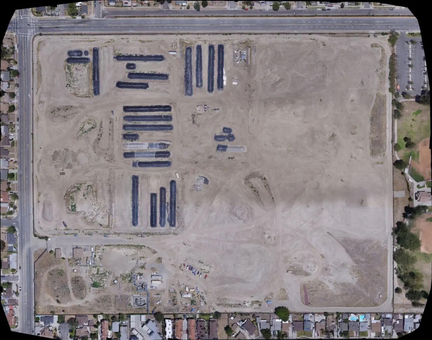
Commercial, Industrial and Residential Site Reconnaissance
Environmental Photography
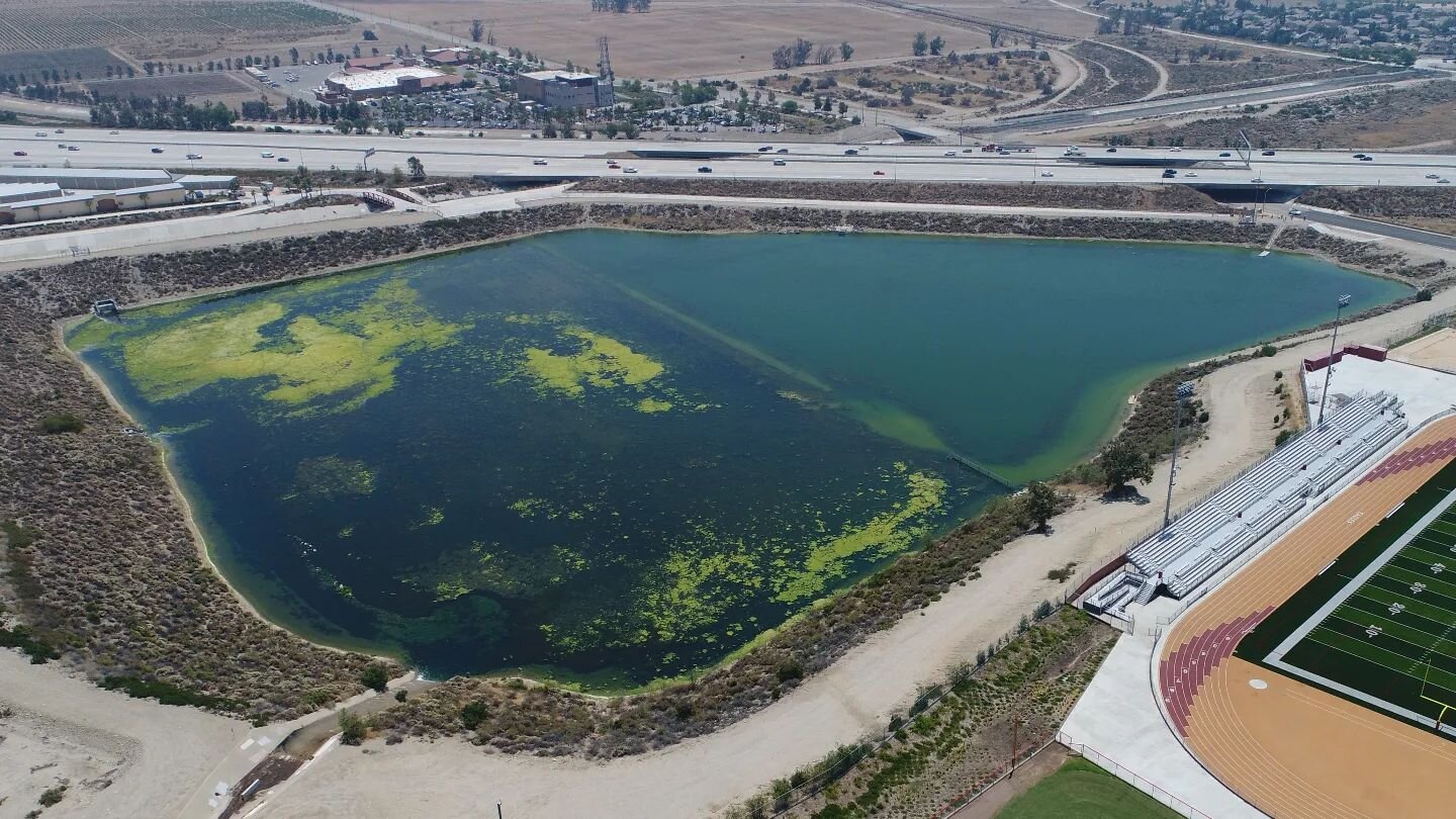
Detention Basin Monitoring
Contamination, Fault Delineation, and Mapping
Volumetric Calculations
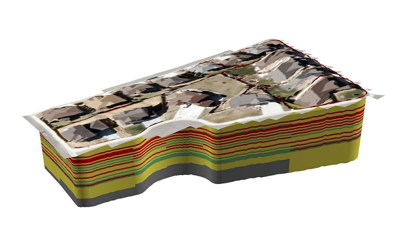
3D Models
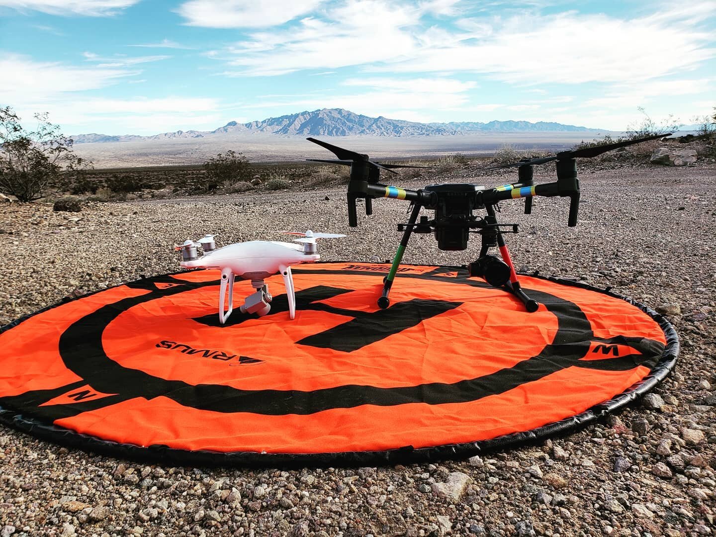
Equipment

DJI Matrice 210
DJI Phantom 4 pro
DJI Spark
DJI Phantom 3 pro
DJI Inspire 1 pro
18’ Camera Mounted Blimp
50’ Car-Mounted Monopod
18-megapixel Canon Rebel EOS
Near and Thermal Infrared Cameras
FAA Approved

Earth Forensics Inc. has UAV pilots that hold a UAS (Part 107) certificate and has been issued an FAA Section 333 Exemption No. 11412-UAV for Commercial Use. Section 333 exemptions are named after the section in the 2012 FAA Modernization and Reform Act (FMRA) that allows the FAA to authorize small commercial drone operations – those under 55 pounds – before a final Unmanned Aerial Systems (UAS) rule is issued.
Check out our Instagram: @aerialforensics